Products & Services
Maritime
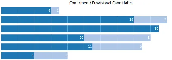
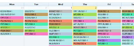
TMS
Training Management System (TMS)
Our Maritime Training Management System (TMS) is a powerful, fully integrated digital platform designed for maritime training institutes, shipping companies, and maritime academies. The system automates course planning, batch scheduling, candidate registration, online booking, examination management, feedback collection, medical tracking, instructor loading, finance, billing, and invoicing—all within a single secure platform.
Built to meet DG Shipping, STCW, and international maritime training compliance, our maritime software improves operational efficiency, reduces administrative overhead, and delivers real-time visibility across training operations. Whether deployed on-premise or on the cloud, the system ensures accuracy, transparency, and scalability for growing maritime organisations.
Simulators
Equipment Simulator
Simulators for Maritime Equipment
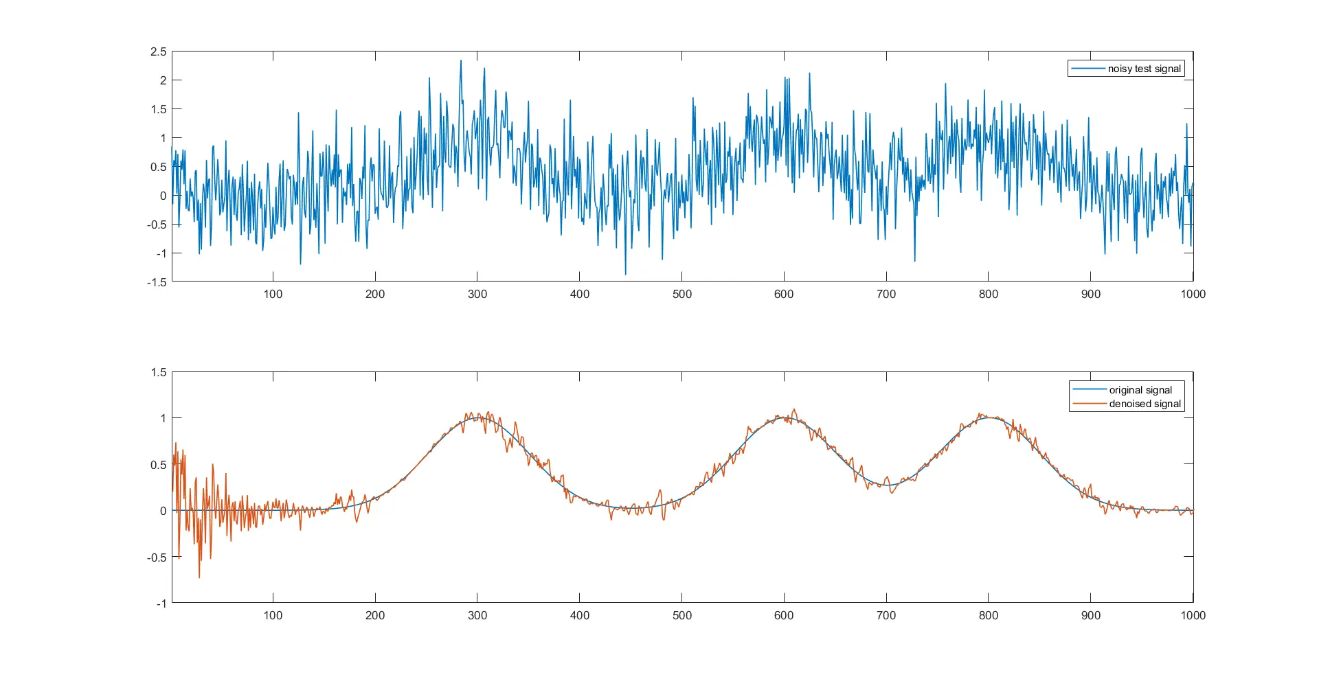
Our Maritime Equipment Simulation Systems deliver advanced, high-fidelity training solutions for RADAR, SONAR, ESM, Communication, and Weapon Systems, enabling realistic operational training without the risks and costs of live exercises. Designed for naval forces, coast guards, maritime academies, and defence organisations, our simulators replicate real-world sensor behaviour, tactical environments, and combat scenarios with exceptional accuracy.
Deployed on-premise or in secure private cloud environments, our simulators ensure defence-grade security, scalability, and interoperability with Command & Control systems, Learning Management Systems (LMS), and Domain Awareness platforms.
Industrial Automation
Sub Heading
Heading...
Para 1 ...
Para 2....
Para 3...
Heading...
Sub Heading
Heading...
Para 1...
Para 2...
DOMAIN AWARENESS SOLUTIONS
COMMON OPERATIONS PLOT FOR MARITIME, AIR, LAND & COASTAL SECURITY
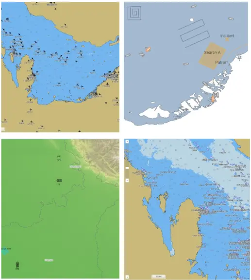
Web based shared common operating pictures covering maritime, Aviation, and land domains
The Common Operating Picture Solution provides a secure, shared web GIS based Common Operating Picture that includes Combat and Mission planning tools.
The system fuses Data from multiple sources to Create a Common single source of Truth for effective Operations.
We provide data-links, data fusion and Integration with existing Sensors and Systems.
FISHING BOAT TRACKING
Track and Monitor own Fishing activity
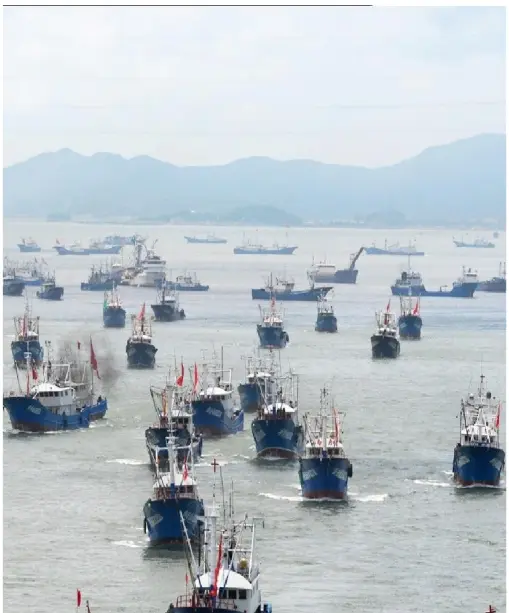
RADIO BASED FISHING BOAT TRACKING SOLUTION COVERING ENTIRE COASTLINE
The Fishing Boat Tracking Solution can track Fishing boats across the entire coastline in territorial seas using Radio Transponders.
The system can provide Automatic accounting of Fishing Boats as well as Geofencing alerts while Being capable of usage on small boats without integral power.
The system also provides the ability to roadcast messages to the boats as well as to receive SOS Messages from them.
FLIGHT TRACKING
AVIATION PICTURE COMBINING ADS-B AND FLIGHT PLAN INFORMATION
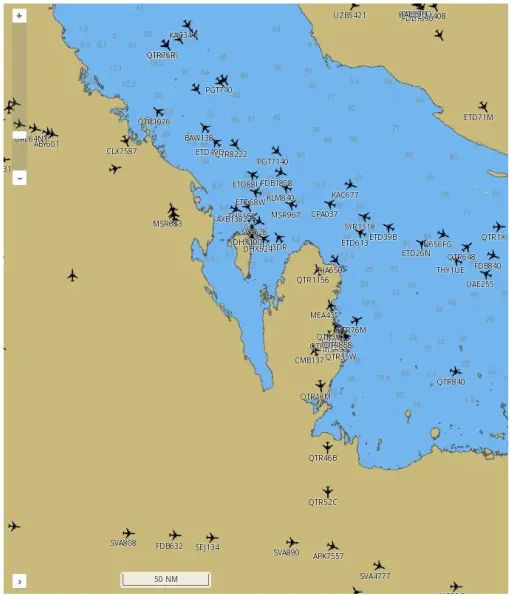
FUSED ICAO FLIGHT PLAN AND ADS-B FLIGHT TRACKING
Creates fused Flight Tracks based on ICAO Flight Plan and ADS-B data to provide an Updated, Near Real time Air Situational plot.
Services
Technologies
Custom Development in C, C++, Python, PHP, Yii, Drupal, Joomla, Embedded Linux (ARM - TI, Allwinner, Rockchip, Broadcom, Samsung)
BI & Data Analytics
Integrated Business Intelligence and Analytics for Web & SAP, Big Data, Elasticsearch based search engines and Machine Learning.
Tech Partnerships
If you have an idea or requirement, we can help you build it. For Startups & Businesses. We power Poles4Pilots, Flymate, BookMeIn, Samvit Samvaad, Golaya Progressive Public School & Naval Maritime Academy.
Simulations
Theatre level Wargames with HLA, Model based simulations for Tactics and Monte Carlo simulations for validating hypothesis.
Cloud and Network Security
Migrate services to the cloud, automate Cloud resource orchestration and creation of secure VPN's.
Consulting
GIS, Maritime and Aviation Operations, Training Management, Custom Workflow Solutions, Cloud and Network Security.
ACOUSTIC MODIFICATION - SHIPS & SUBMARINES
MODIFY ACOUSTIC SIGNATURES OF VESSELS
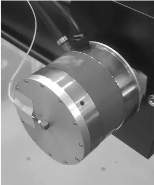
ALTER SELF NOISE ACOUSTIC SIGNATURE
The Noise Augmentation Unit generates Noise that changes a Ship / Submarine’s acoustic signature making it difficult to Identify.
The system uses a Noise Generator that can be programmed by the user to generate several types of waveforms.
The system uses a Noise Generator that can be programmed by the user to generate several types of waveforms.
PRACTISE TORPEDO TRACKING
PRACTISE TORPEDO TRACKING
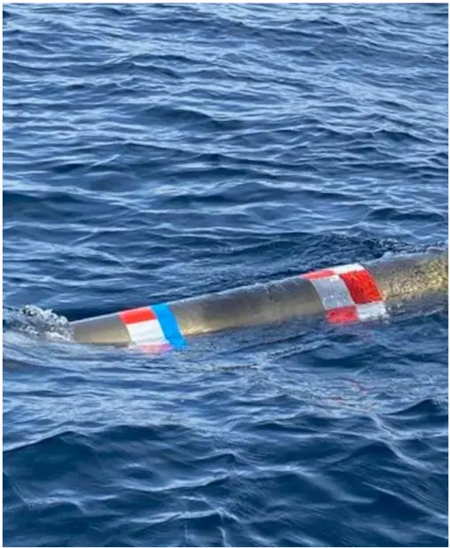
TRACK AND LOCATE TORPEDOES POST FIRING
The Torpedo Tracker is a electro-mechanical device that fits in a Torpedo.
It activates post the firing run and Transmits the Torpedo’s position to a Receiver on a Ship / Aircraft.
THROUGH METAL ULTRASONIC COMMUNICATION
TRANSFER DATA THROUGH METAL STRUCTURES WITHOUT PIERCING
THROUGH METAL COMMUNICATION
Communication System enables communication across metal structures without penetrating Bulkheads.
Provides throughputs of upto 5Mbps
AI ADAPTIVE NOISE CANCELLATION
Provide Noise Cancellation using AI Adaptive techniques.
Can reduce Equipment Vibration and Noise, enhancing their life.