PRD-06 · URBAN
Smart City
Urban geospatial & command centre systems
Overview
A city is a geospatial problem.
Every municipal question - where is that valve, which route is flooded, whose asset is this - is a question about a location and the data attached to it. We build urban systems on the same geospatial core as our defence work, which means the city's data stays on the city's infrastructure and its command centre is not a licence renewal away from going dark. We are an Ahmedabad company and are currently in discussion on smart city work for the city.
What it does
Inside the system.
AST
Utility & asset registries
Water, drainage, power and street furniture as queryable spatial data with a maintenance history, not a drawer of drawings.
TRN
Transport & route planning
Route, fleet and schedule planning - the same engine behind our school and warehouse transport work.
FLD
Drainage & flood modelling
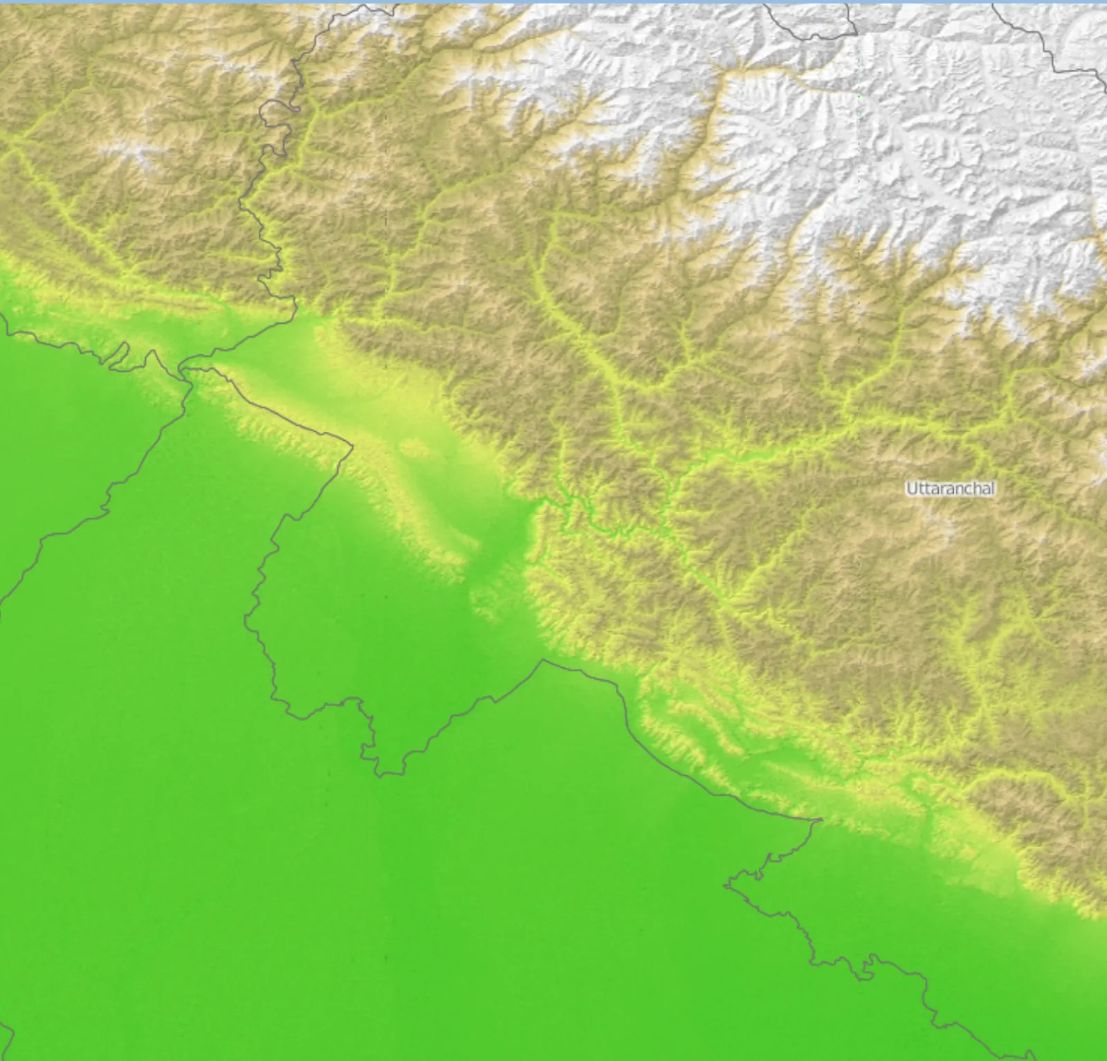
Terrain-driven drainage and flood analysis on real elevation data, so a monsoon plan is grounded in the ground.
CMD
Command centre dashboards
An integrated operating picture fusing municipal feeds - the civil sibling of our domain awareness platform.
OSS
Open-source, no lock-in
PostGIS, GeoServer, QGIS and OpenLayers. No per-seat licences and the city owns the stack.
Deployment
Where it runs.
On the city's own infrastructure. Sovereign by design: no mandatory cloud, no data leaving the municipal perimeter.
Start here
See Smart City
against your problem.
Tell us what you're trying to train, track or communicate through and we'll tell you honestly whether Smart City fits - or whether you need something else built.
Start the conversation