Charts · Terrain · Closed networks
Geospatial that runs
with the cable unplugged.
Our geospatial work runs on open-source foundations - PostGIS, GDAL, QGIS, GeoServer, MapProxy and OpenLayers, the same stack national mapping agencies use. That is not an ideological preference: open source is what lets a system be audited line by line and deployed on a network with no route to the internet.
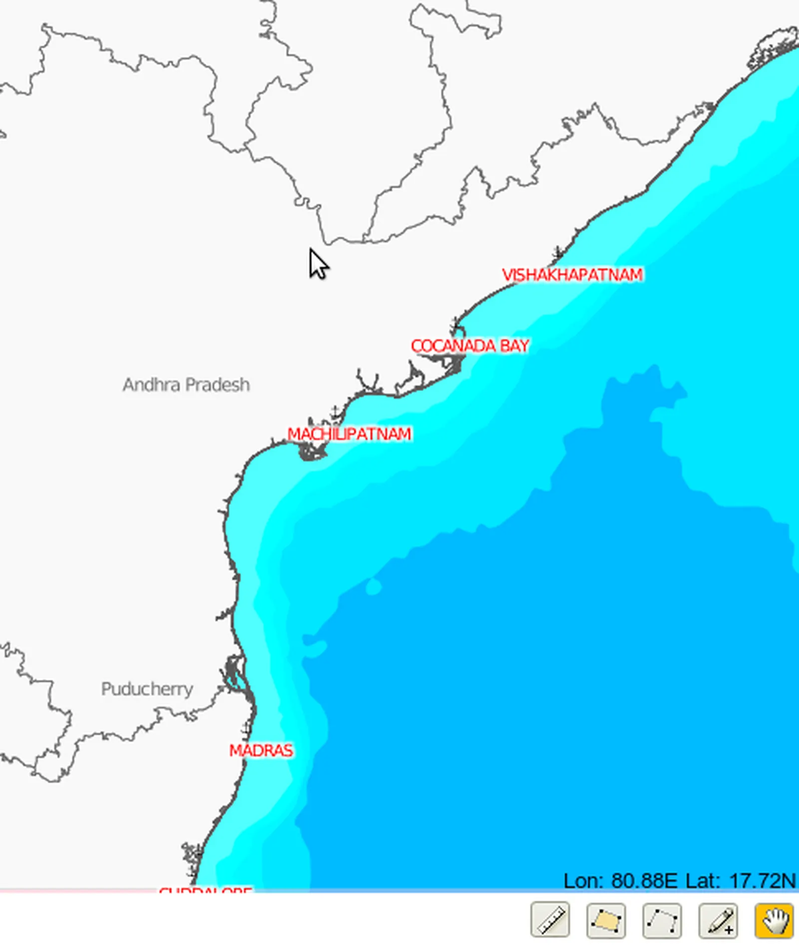
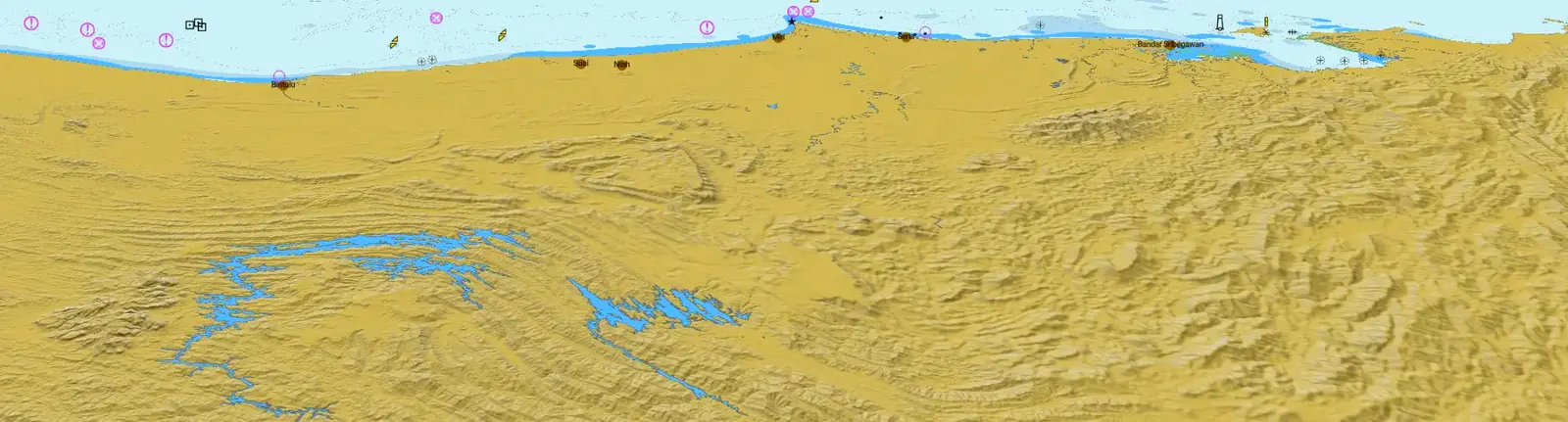
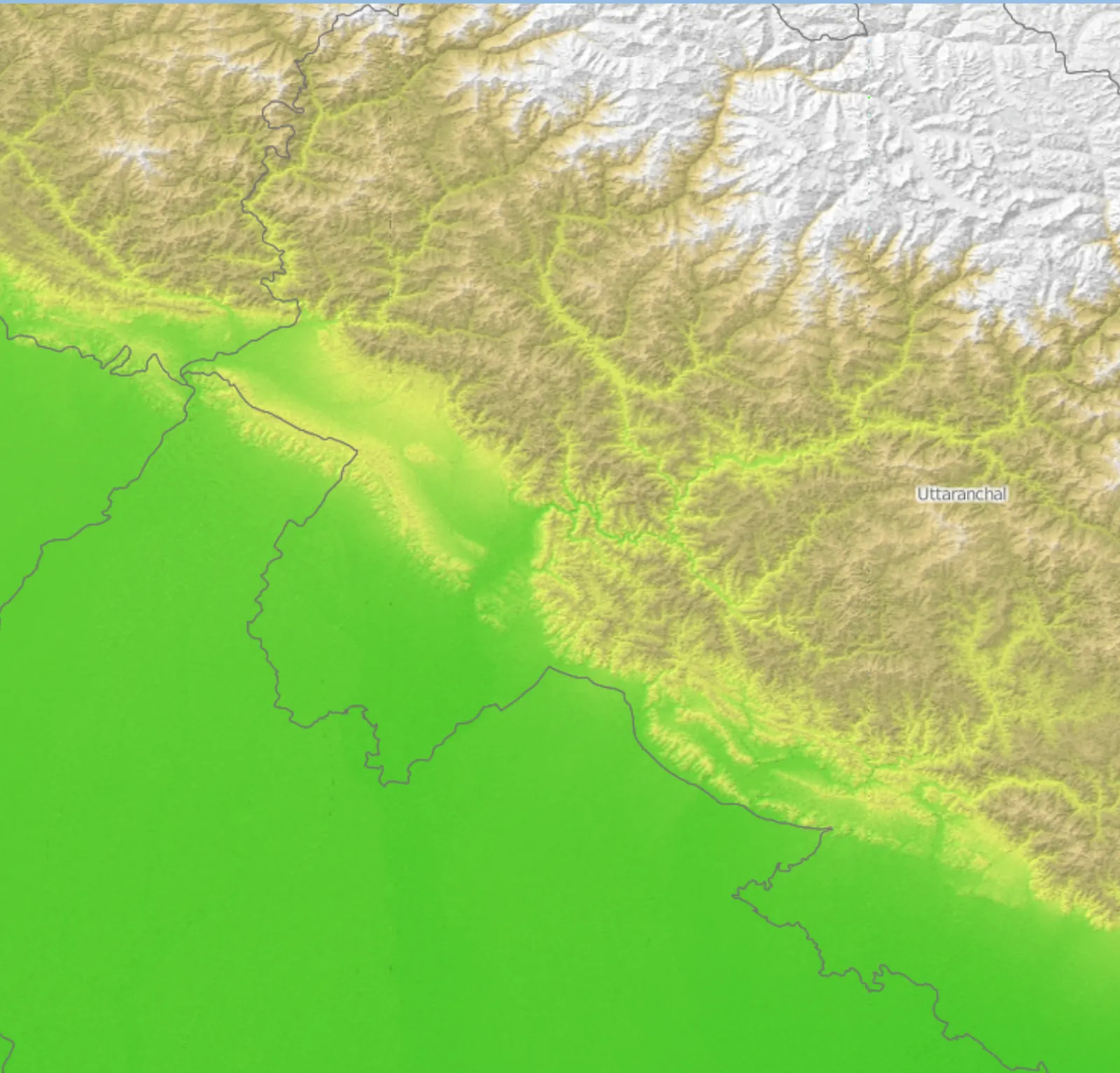
Our deployments carry their own basemaps, tiles and elevation data - GEBCO bathymetry, SRTM terrain, S-57 charts - served from inside the client's perimeter. Nothing calls a tile server on the public internet, because on a closed network there isn't one to call. The charts, tints and terrain below are real output from systems we built and run.
Why it matters
Sovereign by construction.
GEO / OSS
Built on open-source foundations
PostGIS, GDAL, QGIS, GeoServer, MapProxy and OpenLayers - the same stack national mapping agencies run on. No per-seat licences, no vendor lock-in and source you can audit line by line. That auditability is not an ideological preference: it is the precondition for putting a system on a network nobody outside can reach.
GEO / AIR
Air-gapped by construction
Our GIS deployments carry their own basemaps, tiles and elevation data - GEBCO bathymetry, SRTM terrain, S-57 charts - served from inside your perimeter. Nothing calls a tile server on the public internet, because on a closed network there isn't one to call.
GEO / DAP
Domain awareness
A shared, web-based common operating picture that fuses AIS, radar, ADS-B and sensor feeds into one plot, with combat and mission planning tools over the top. One source of truth across maritime, air, land and coastal domains.
GEO / CTY
Smart city & urban systems
The same geospatial core underpins urban work: utility and asset registries, transport and route planning, drainage and flood modelling and command-centre dashboards that fuse municipal feeds. We are currently in discussion on smart city work for Ahmedabad, and we build this class of system to the customer's data and the customer's network.
Start here
Have a problem nobody
will quote on?
That's usually where we start. Write to us with the problem - not a spec - and we'll tell you honestly whether we can build it, how and what a prototype would take. You'll hear back from an engineer, not a sales team, within two working days.