PRD-05 · GEOSPATIAL
Domain Awareness
Common Operating Picture
Overview
One plot. One truth.
Situational awareness fails at the seams between systems: the radar picture, the AIS feed and the flight plan each tell a partial story and reconciling them by eye is how contacts get lost. Our domain awareness platform fuses them into a single shared plot that every watchstander sees the same way, on a network with no route to the internet.
What it does
Inside the system.
FUS
Multi-source fusion
AIS, radar, ADS-B, ICAO flight plans and sensor feeds resolved into single tracks - one source of truth, not four overlays.
PLN
Combat & mission planning
Planning tools that work on the same picture the operators are watching.
GEO
Real geospatial data
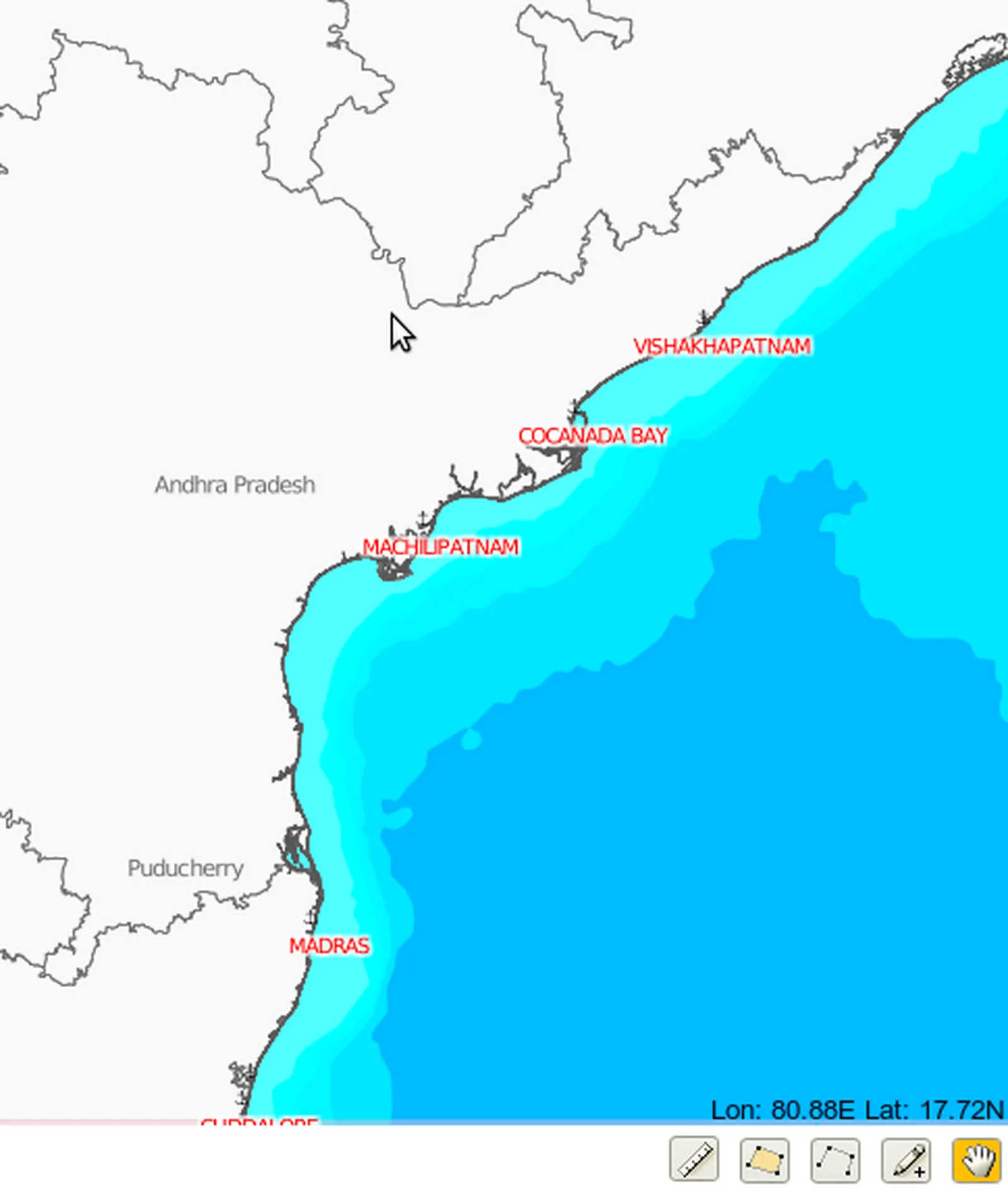
S-57 charts, GEBCO bathymetry and SRTM terrain, served from inside your perimeter.
LNK
Data-link & sensor integration
Integration with existing data-links, sensors and command systems rather than replacing them.
Deployment
Where it runs.
Web-based and air-gapped: the browser is the client and every tile, chart and elevation model is served from your own infrastructure.
In their words
What clients say.
“Chaitanya and his team have a firm grasp on the challenges facing maritime patrolling and tracking; his solutions present real-time information, ease its processing infinitely and augment decision-making to a very high degree.”
Read the full testimonial
I have worked closely with Chaitanya while we were together in the Indian Navy and later as a founding member of Times3 (now part of the Varuni Systems solutions on offer).
Chaitanya and his team have a firm grasp on the challenges facing maritime patrolling and tracking; coupled with his unique, out-of-the-box approach, he offers solutions that leave the end user wondering, why didn't I think of this?
The problems he is tackling are humongous in scope, but his conceptualisation and offered solutions take them all in and present them to the user in simple, elegant formats that give real-time information, ease its processing infinitely and augment decision-making to a very high degree. Put it this way: the solutions are a must for ensuring positive outcomes in a complex operational scenario.
Start here
See Domain Awareness
against your problem.
Tell us what you're trying to train, track or communicate through and we'll tell you honestly whether Domain Awareness fits - or whether you need something else built.
Start the conversation